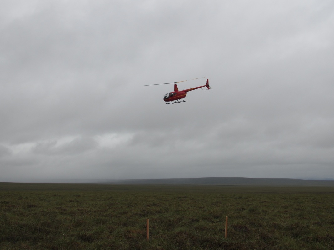
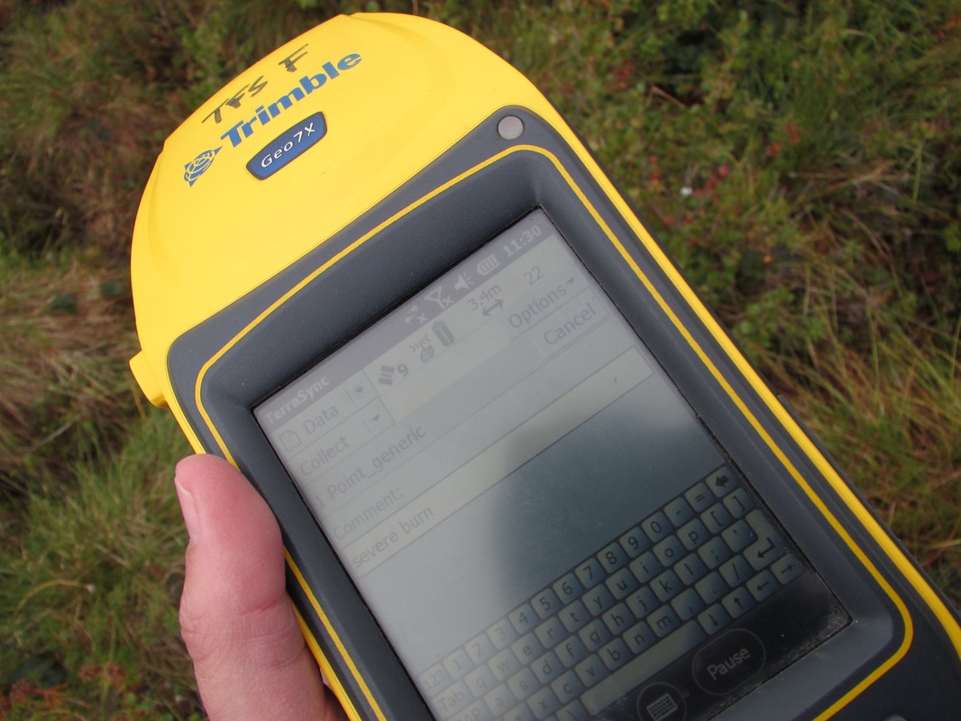
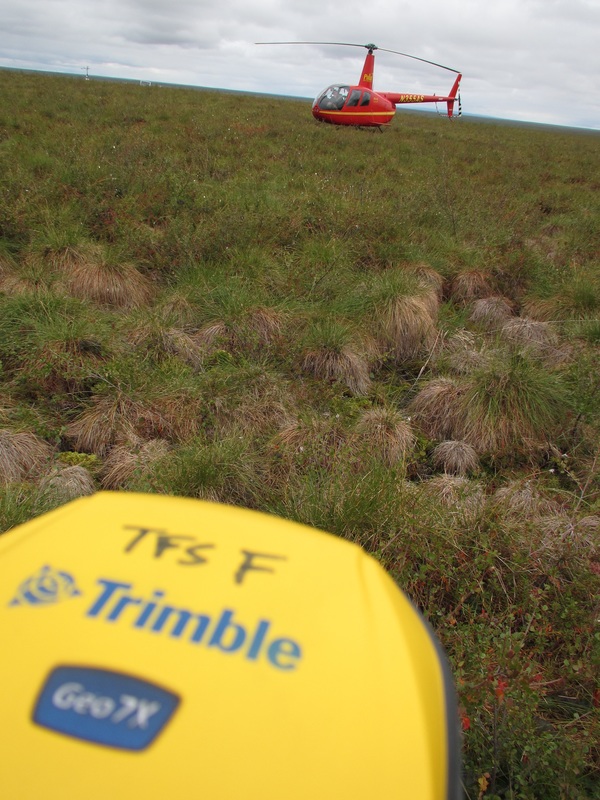
| Last full day in Toolik and we were treated to a little helicopter ride out to the burn sites (wildfire in 2006). We took GPS coordinates of the sites and photograph the plots that received various treatments (Burn, Moderately Burn, Sever burn, and Nitrogen/Phosphorus). The flight out to the site is about 20 minutes in an itty bitty helo. Mini flights are taken between each flight. We saw lots of caribou on the ground and one grizzly bear. They look too little from the helicopter to take pictures of but you might be able to make them out in some of the images below. |  Cartoon with Helo safety directions. Found in bathroom. |
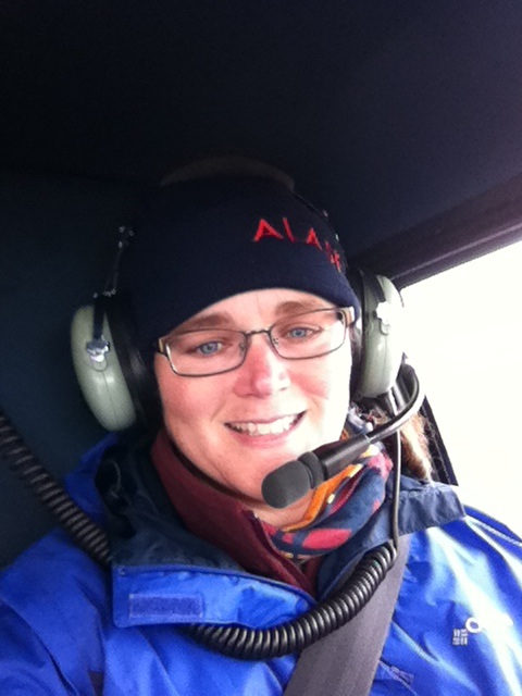 Pre-flight selfie. 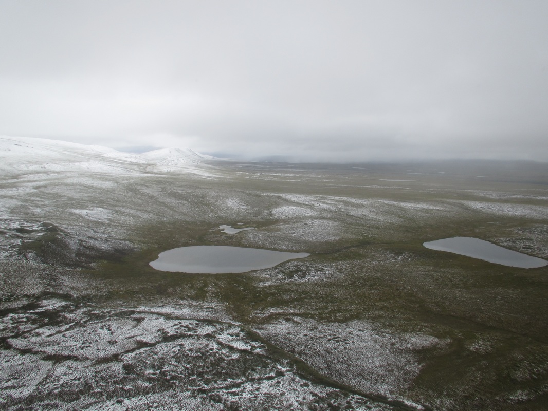 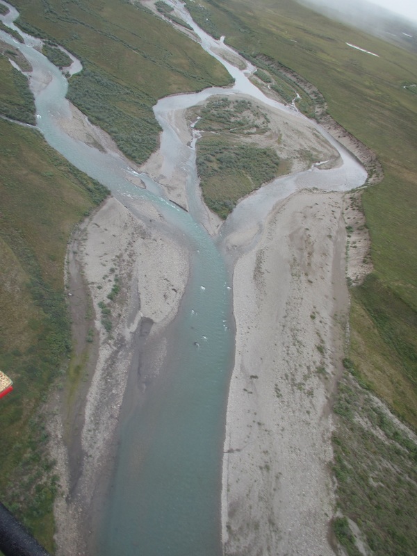 | 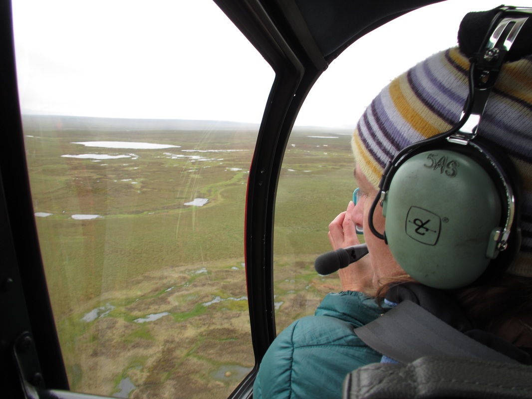 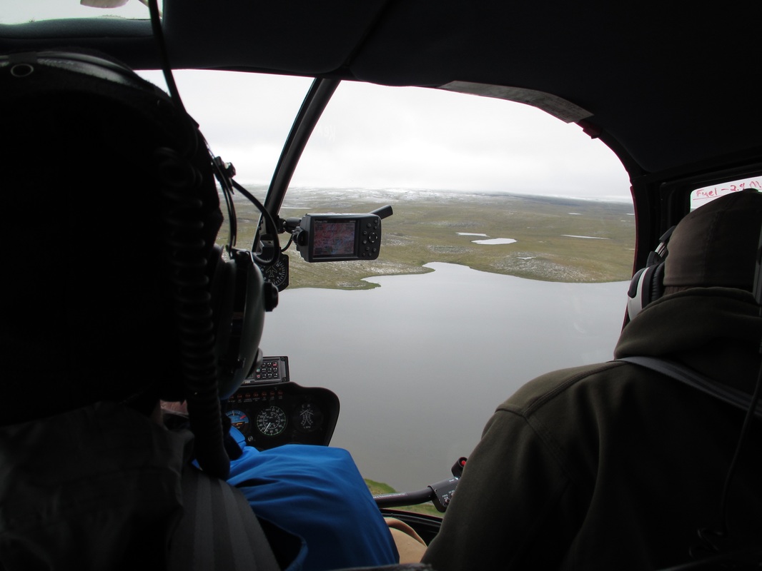 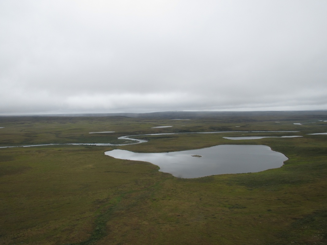 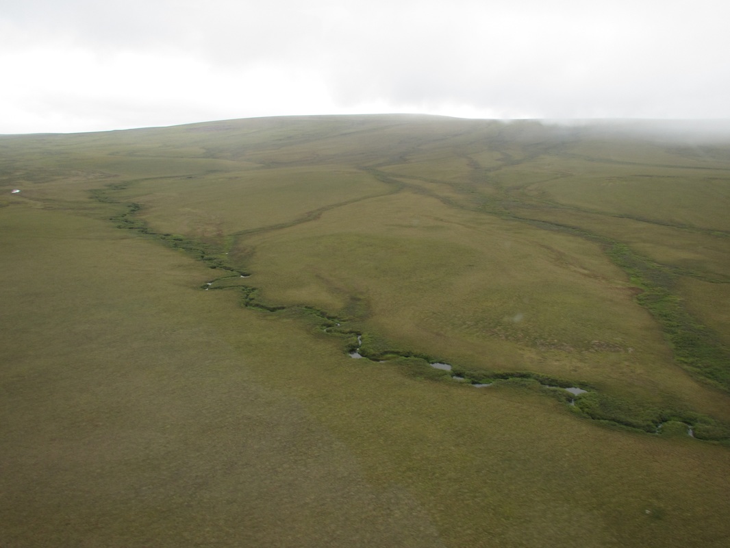 |
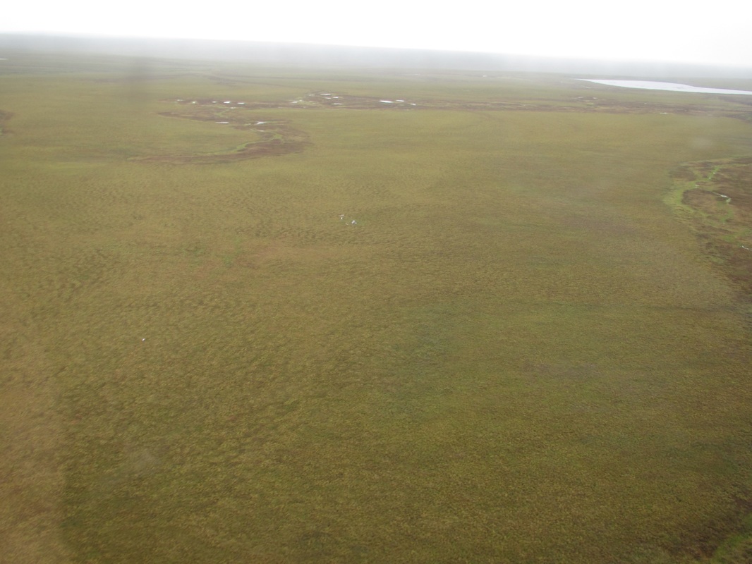
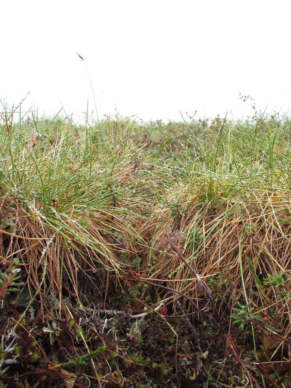
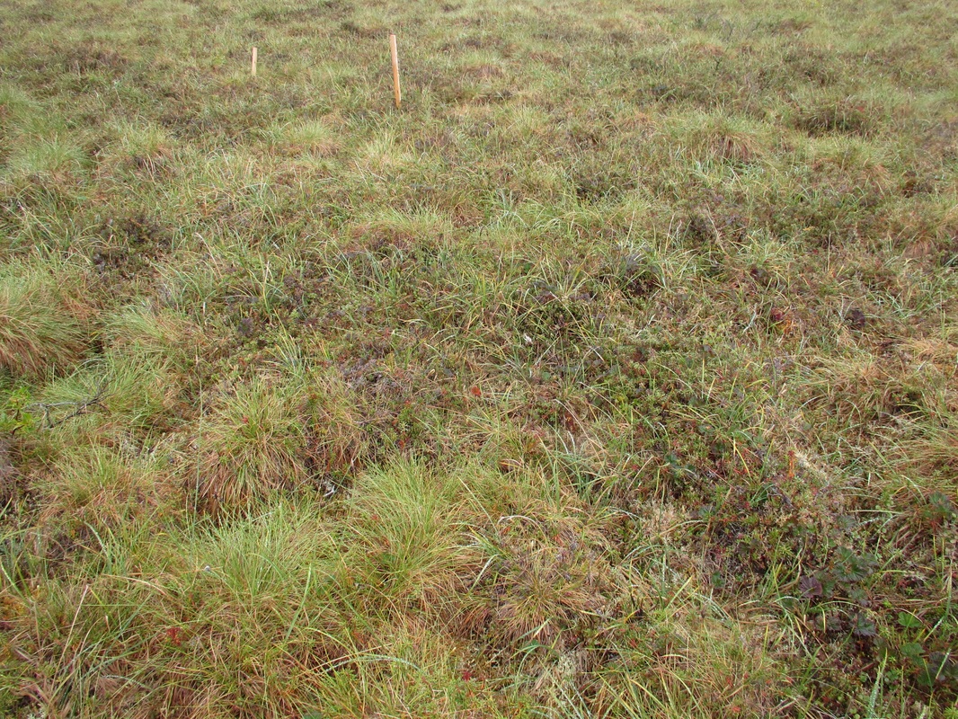
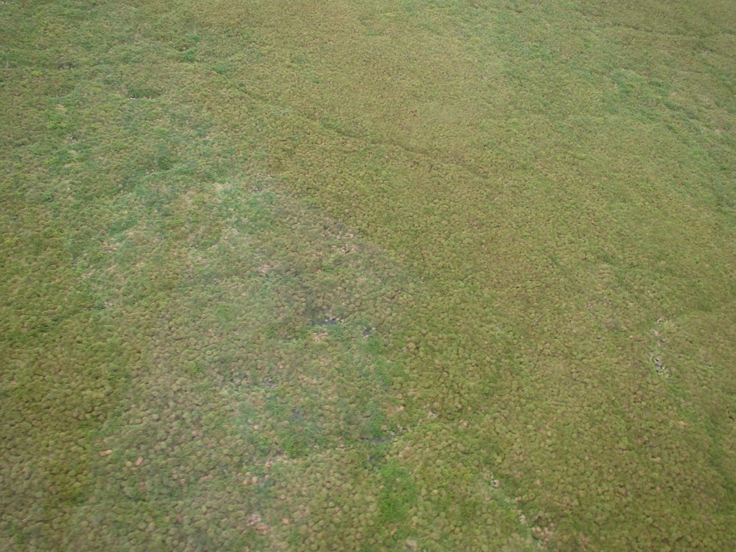
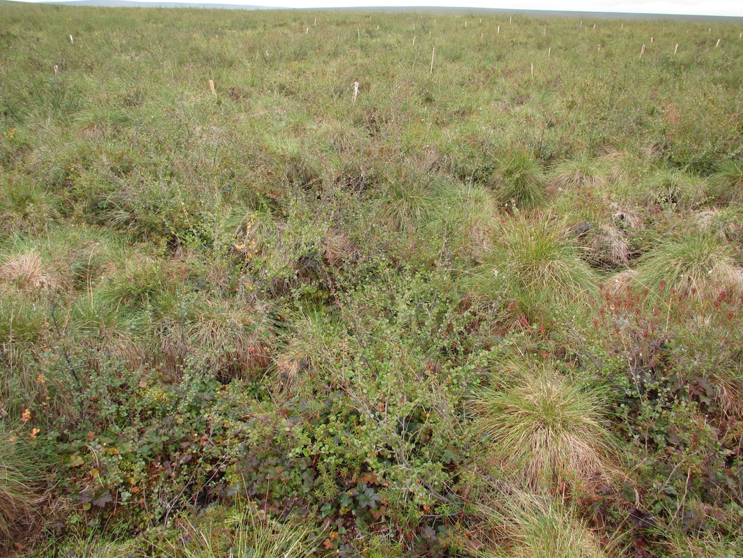
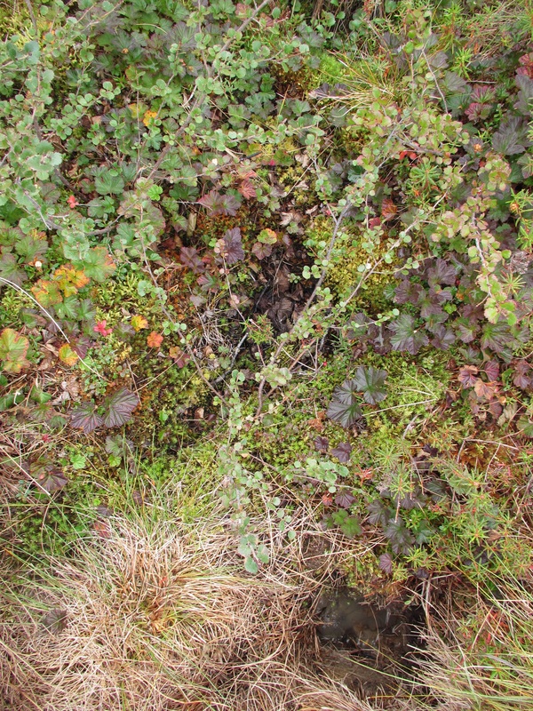
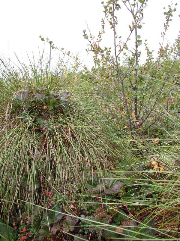
Unburned Site
 |  2nd Helicopter with researches departing the site. |
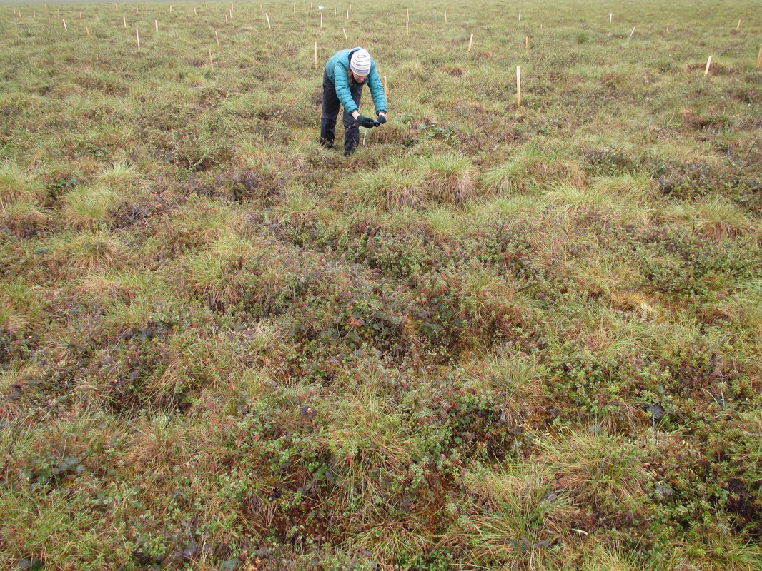
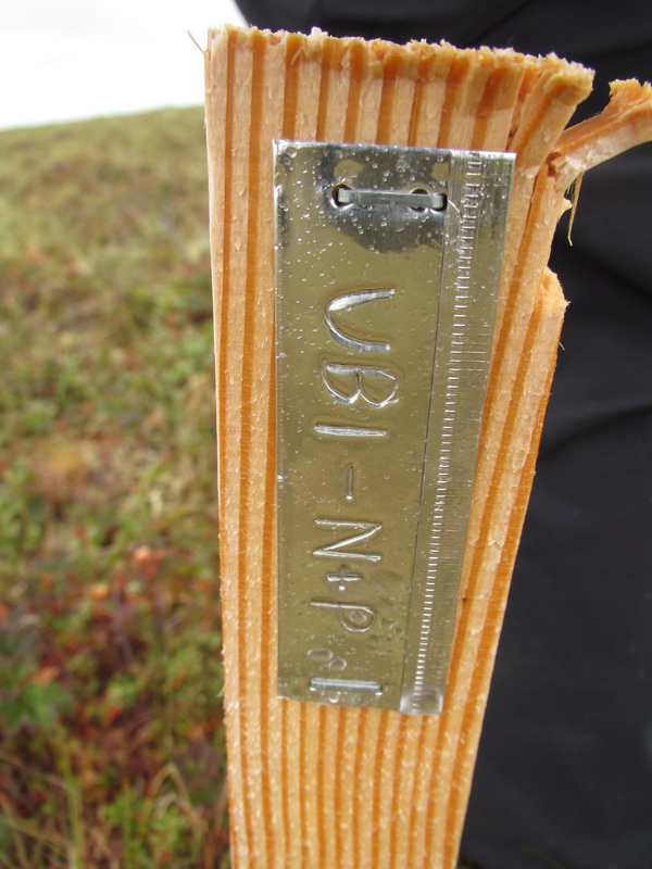
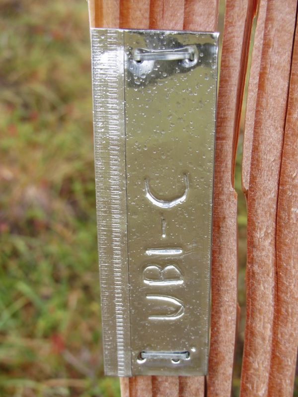
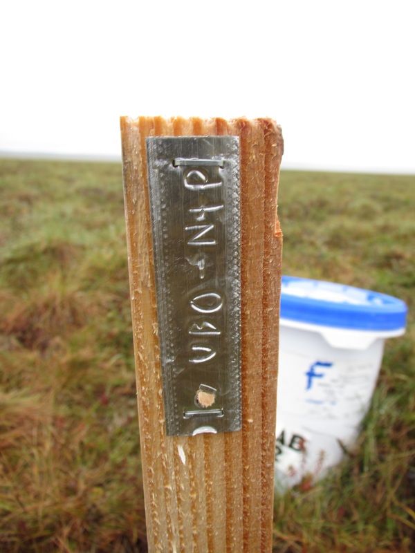
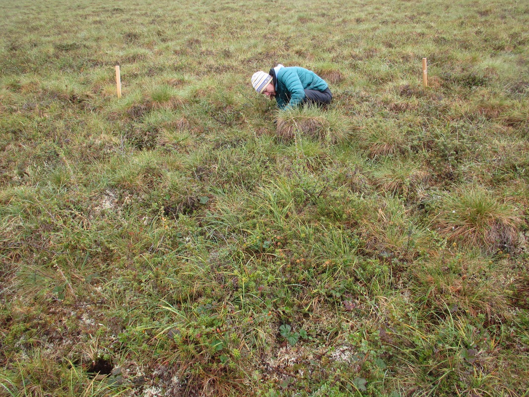
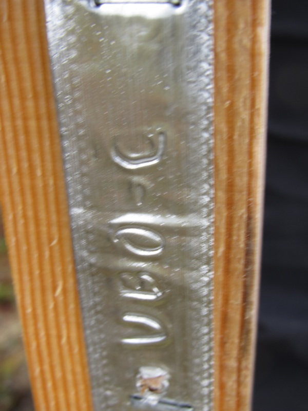
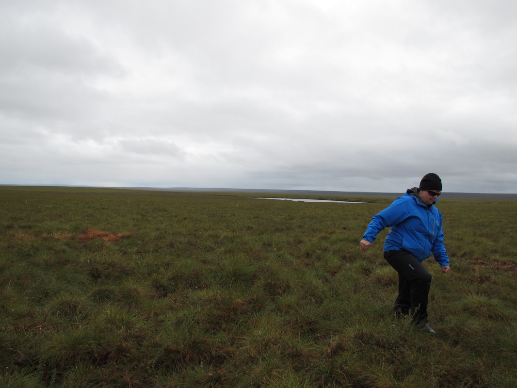
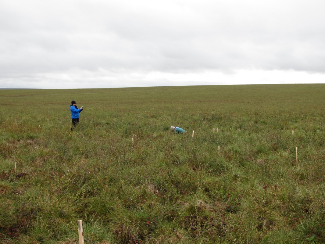
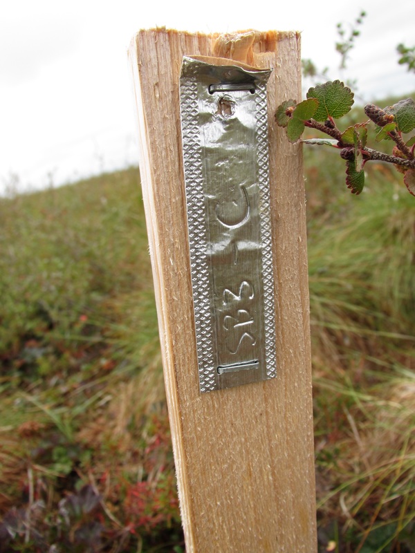
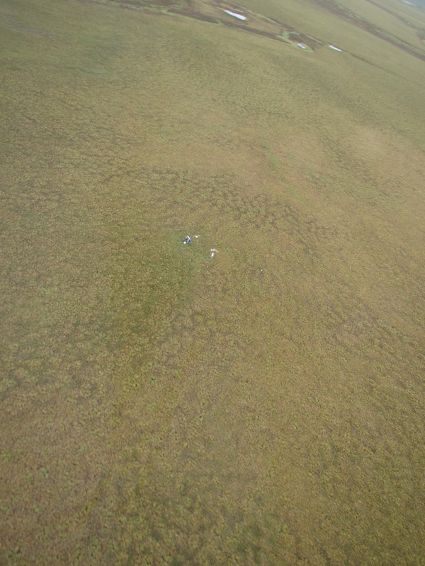 Towers on the ground marking the site. Unburned Plot Images Below: Tussocks in this region were not especially huge. Floriculture was fairly consistent with what we see at Toolik. GPS Coordinates were taken at the North side of the plot next to stake: | 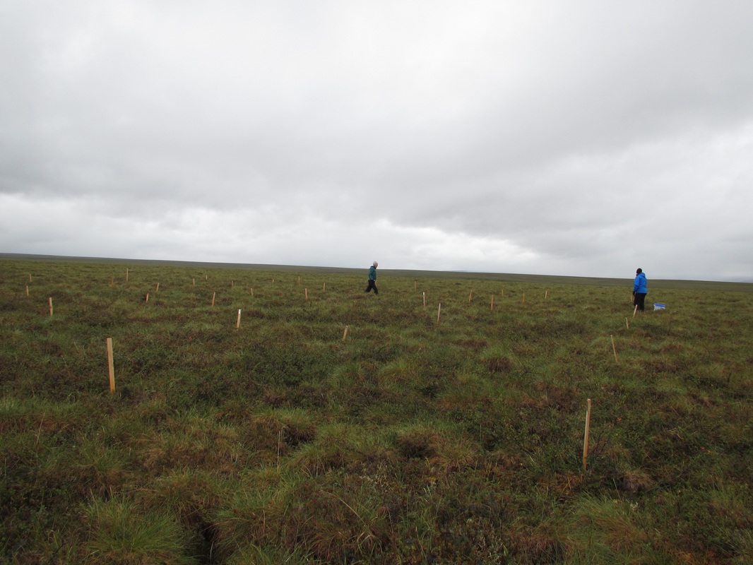 Amanda and Mary determining the plot layout. 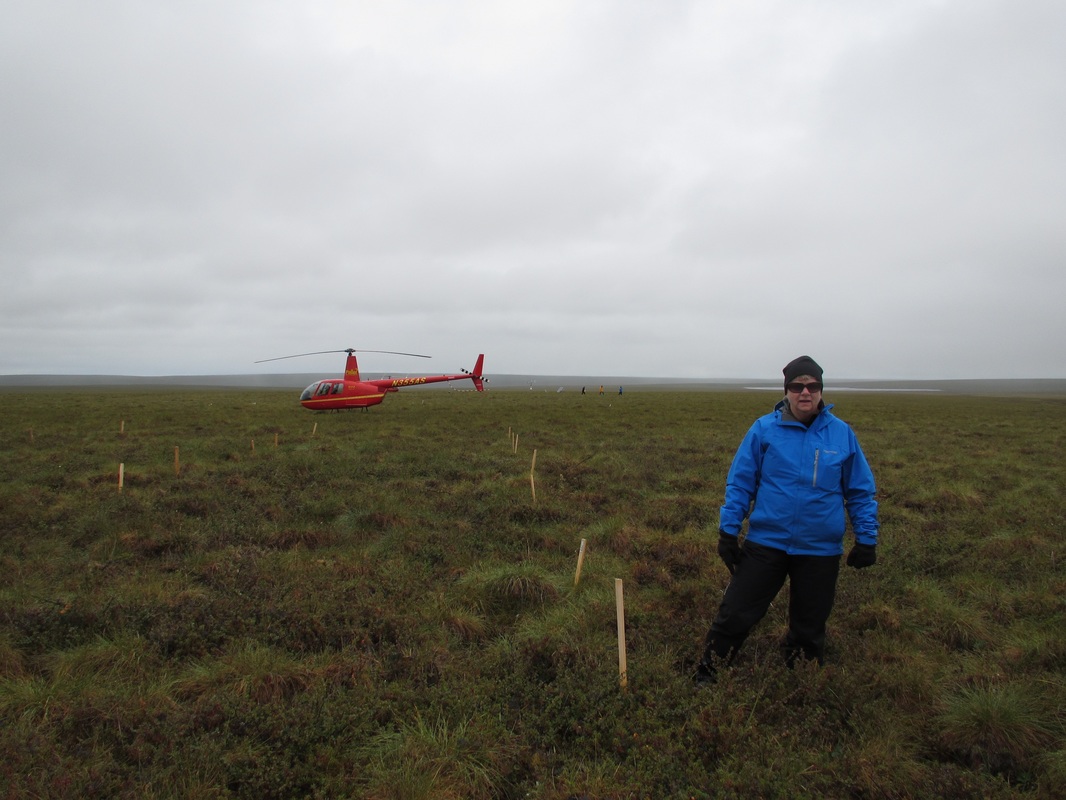 We rode that helicopter about 25 miles out to the site. |
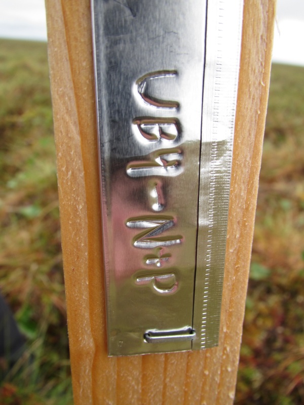 |  Plot UB4 - N&P Treatment |
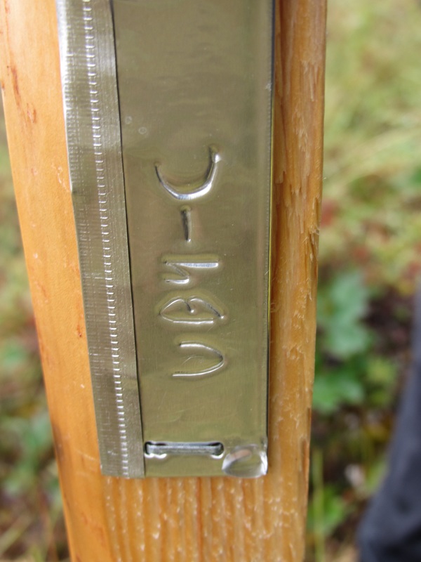 |  Plot UB4 - Control 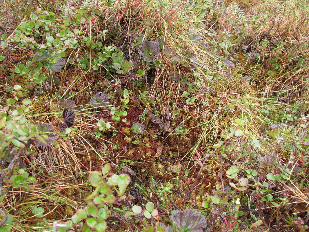 Plot UB4 - Control |
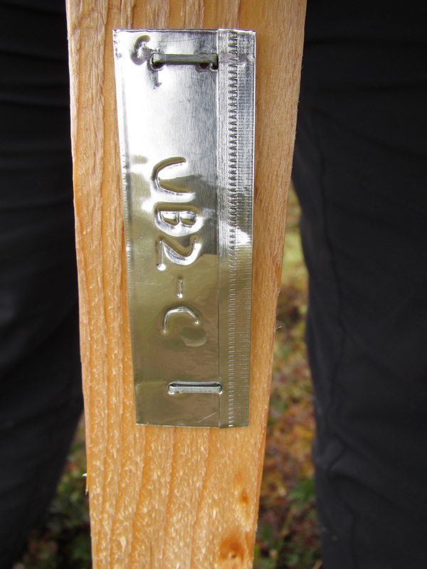
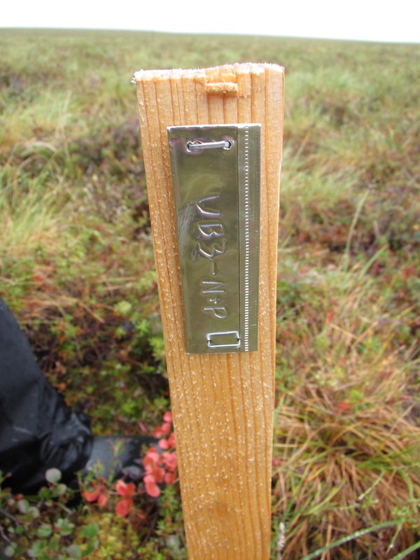 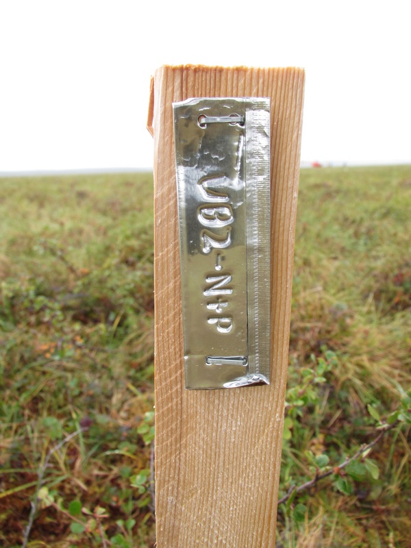  Plot UB2 - N&P | 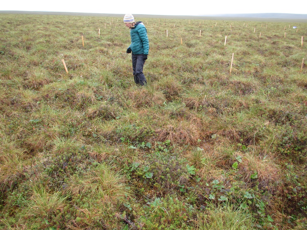 Plot UB3 - N&P 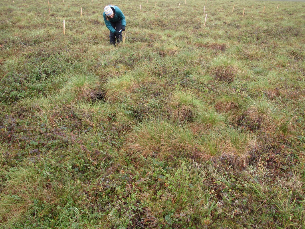 Plot UB2-N&P 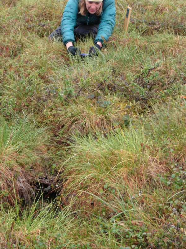 Plot UB2 - N&P | 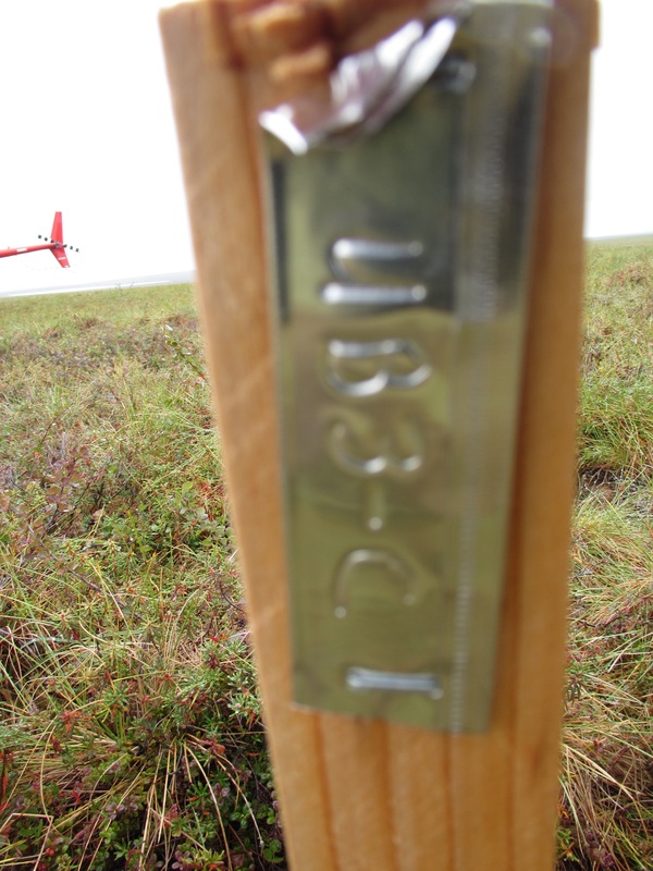 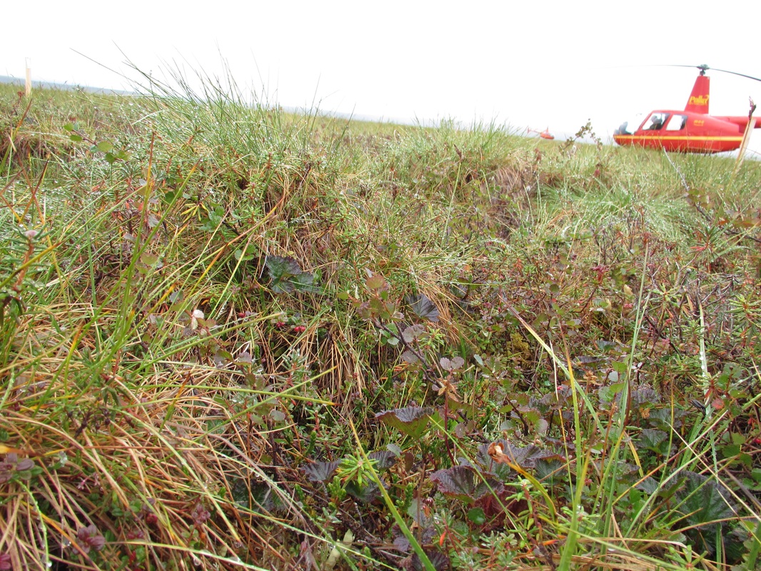 Plot UB3-C 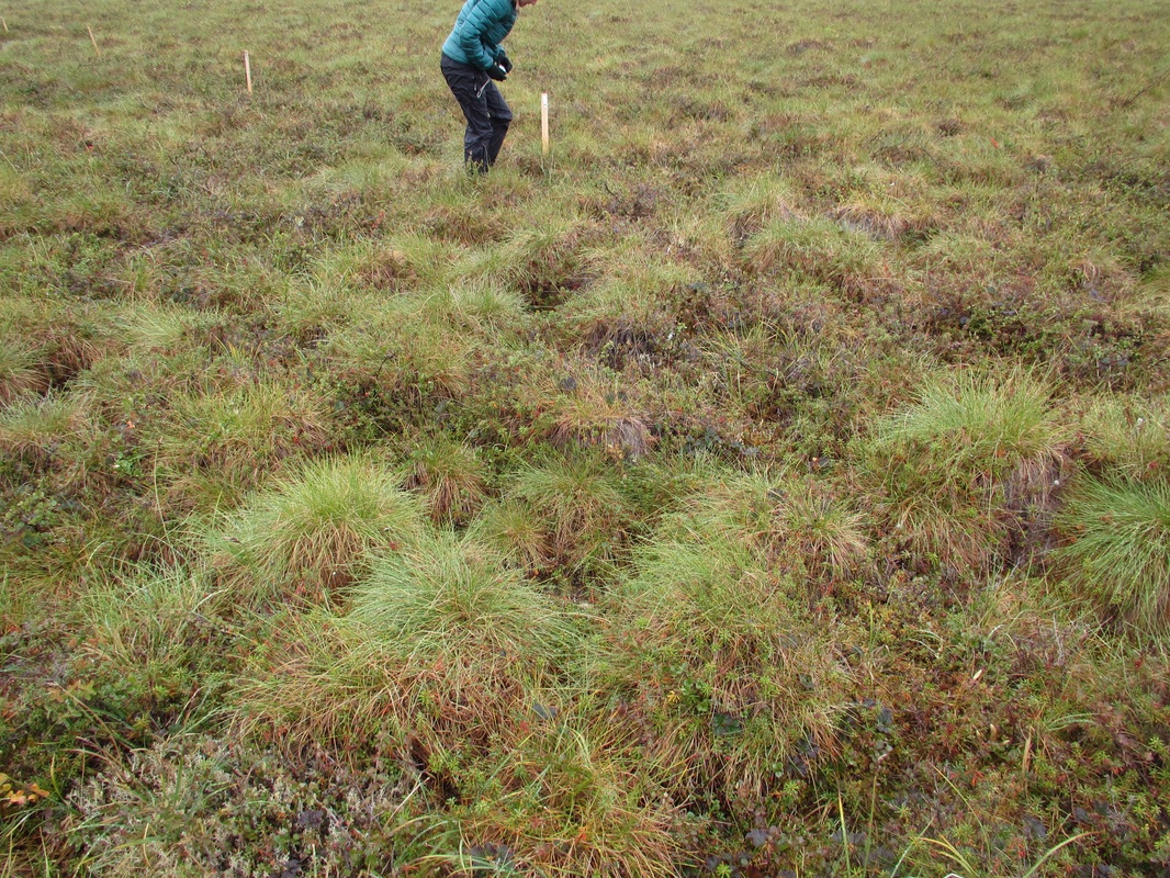 Plot UB3 - C |
 |  Plot UB2 - C | 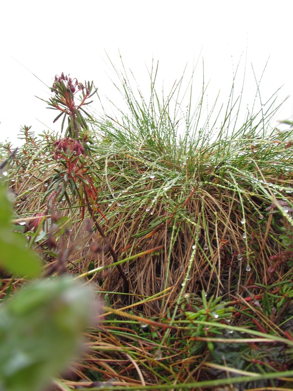 Plot UB2-C |
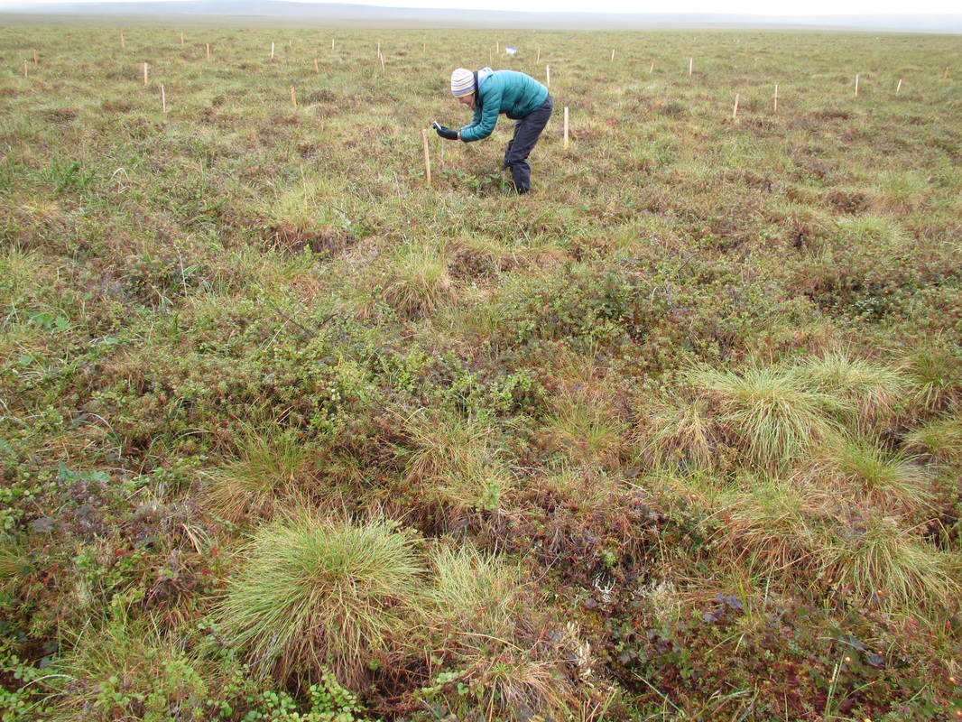
 |  Plot UB1- N&P |
 |  Plot UB1-C | 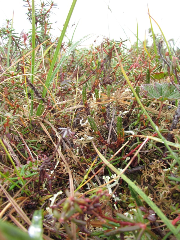 Plot UB1-C |
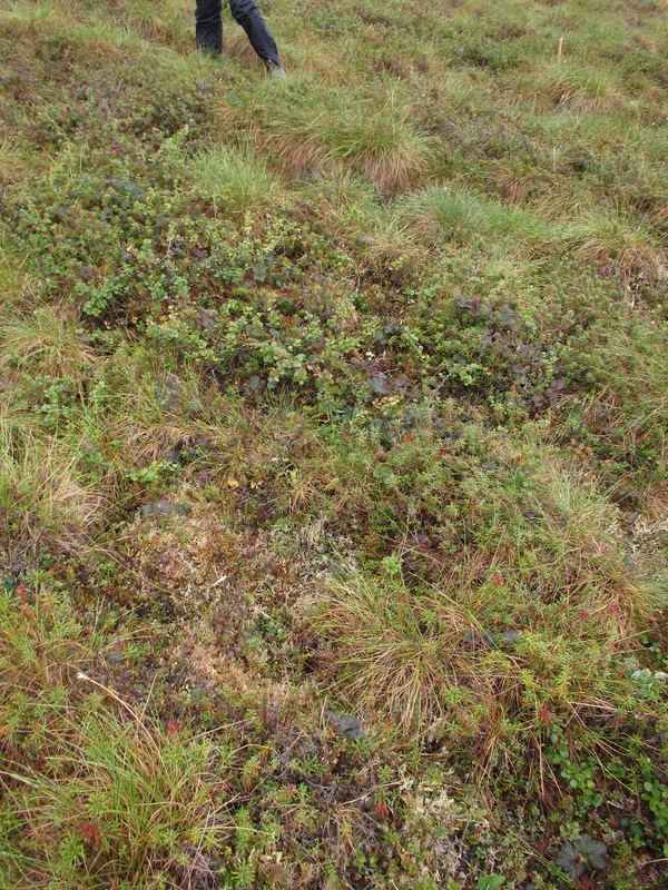
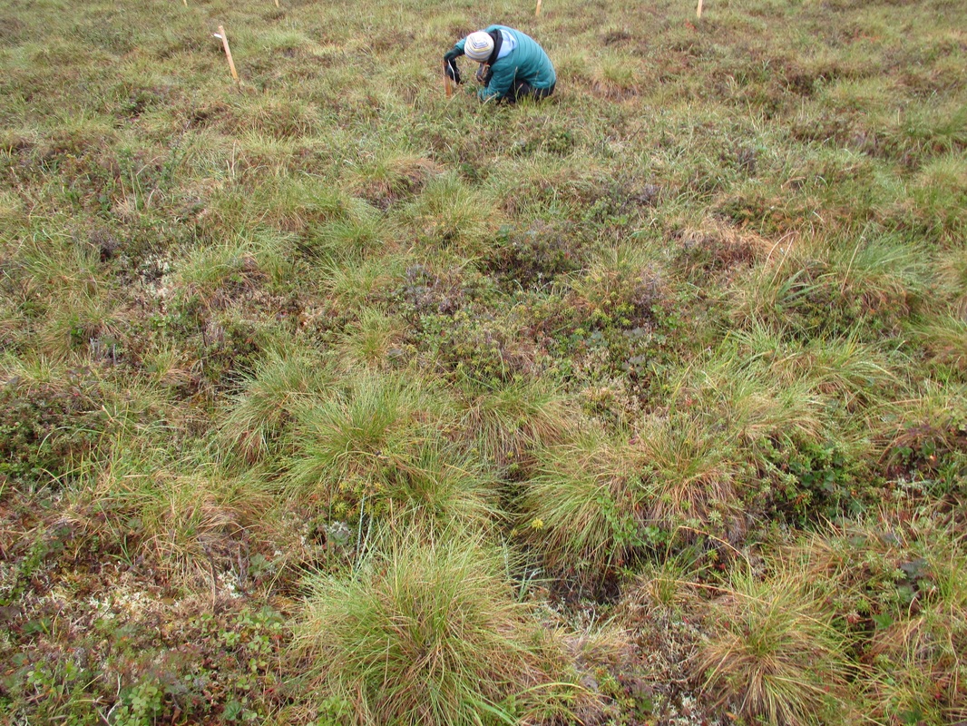
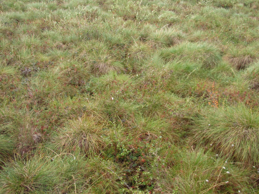
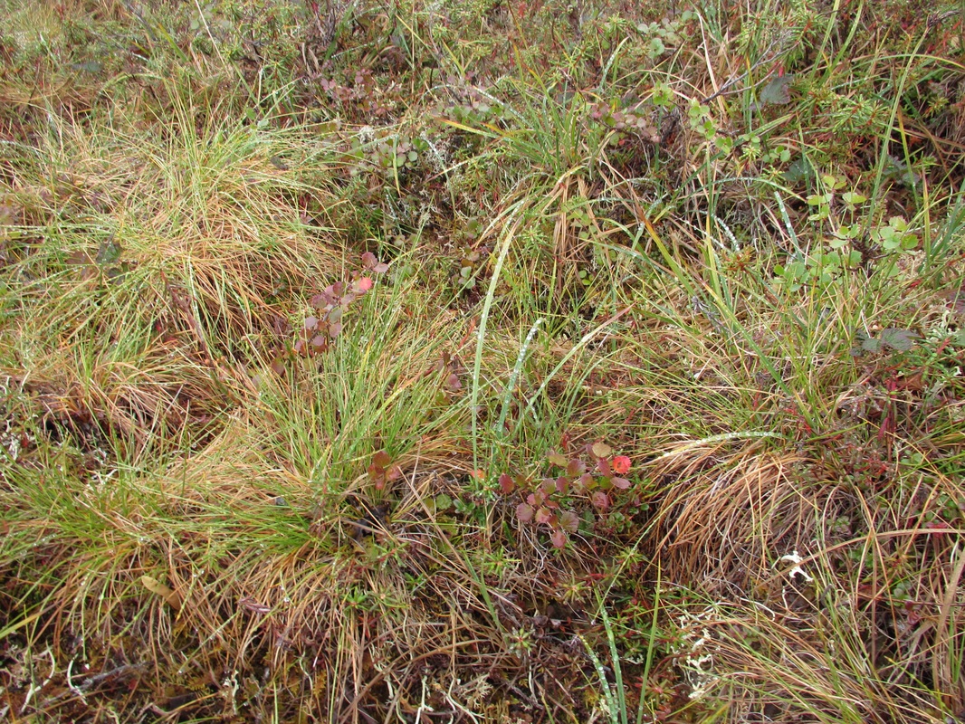 Plot UB1-C | Photographed each plot. If you've never walked on the tundra realize that the long grass you see is a tussock and sticks up above everything else. It may or may not be stable enough to stand on. It's easier to walk in the valleys rather than the ridges. If you are tired of looking at tussock and plot images. Stick around and skim through and be sure to compare the unburned images to the moderately and severely burned below to see if you notice a difference. |
 |  Plot UB0 - N&P | 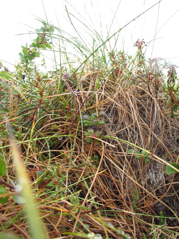 Plot UB0 - N&P |
 |  Plot UB0-C 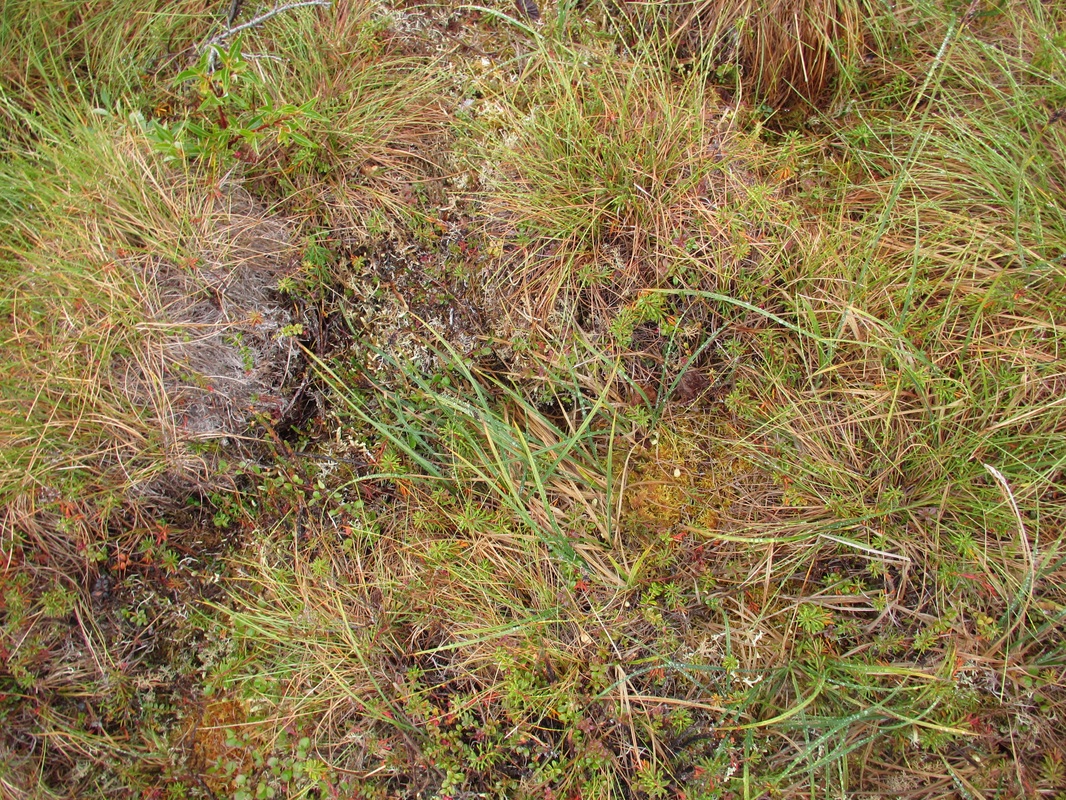 Plot UB0-C | 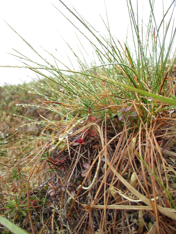 Plot UB0-C |
Moderately Burned Site
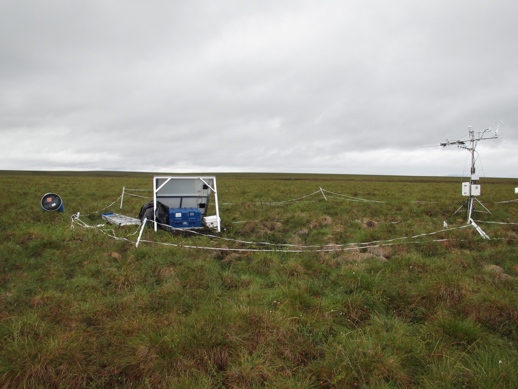
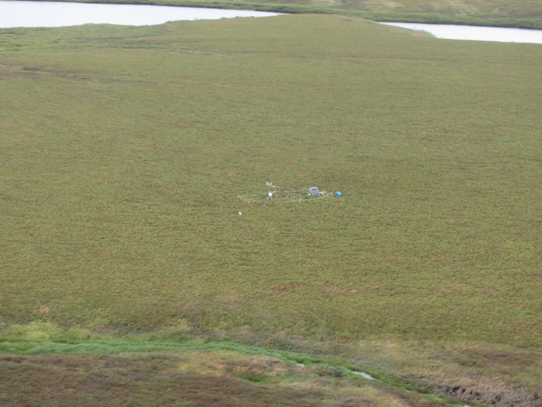 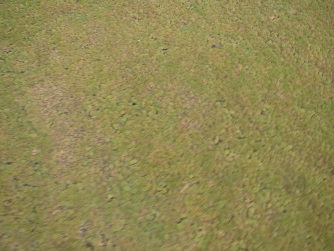 There was no formal plot at this site. We took GPS coordinates and photographed the area. Next to the tour there is an emergency cache at this site. This has minimal basic survival gear should a researcher get stranded at this site due to changing weather conditions or aircraft issues. | 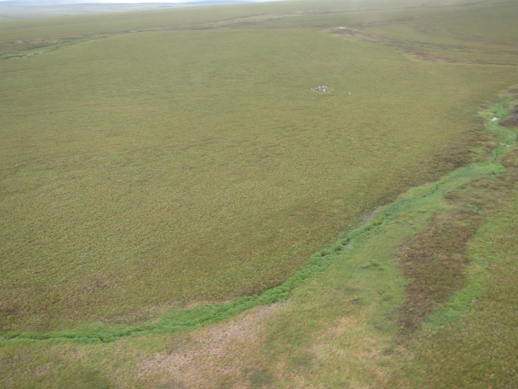 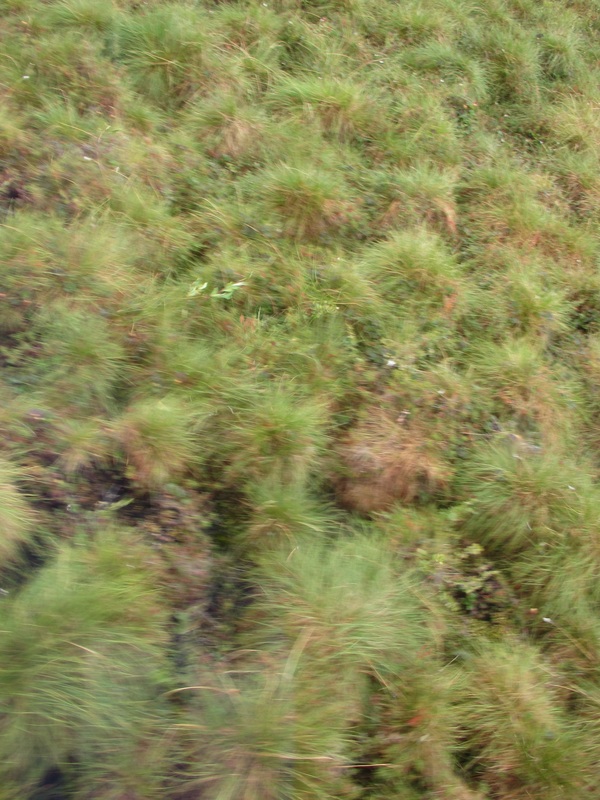 |
 |  |
Severely Burned Site
  There was a lot of variation at the severely burned sight. Large areas of pulled water with little vegetation. The tussocks that were alive were substantially higher than the surrounding ground. Walking here was an extreme challenge. GPS coordinates were taken and the plots were again photographed. | 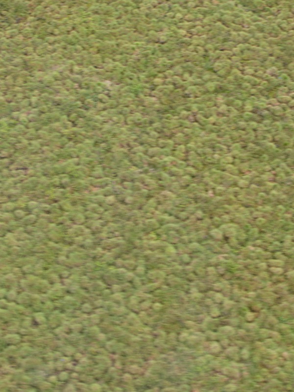 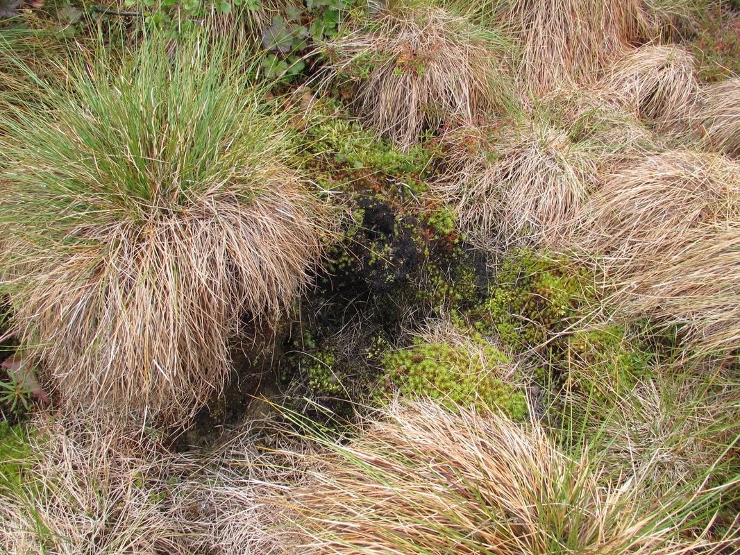 |
  |  |
 |   |  |
Hoping to finish this post today! 09/4/16
 RSS Feed
